About the Village

Hat Tharp — the historic heart of Didihat

The geographic, etymological and historical nucleus from which the town of Didihat grew, nestled in the fertile Haat Valley of the Kumaon Himalayas.

The Nucleus of Didihat

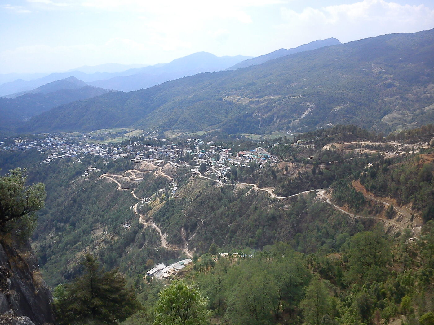
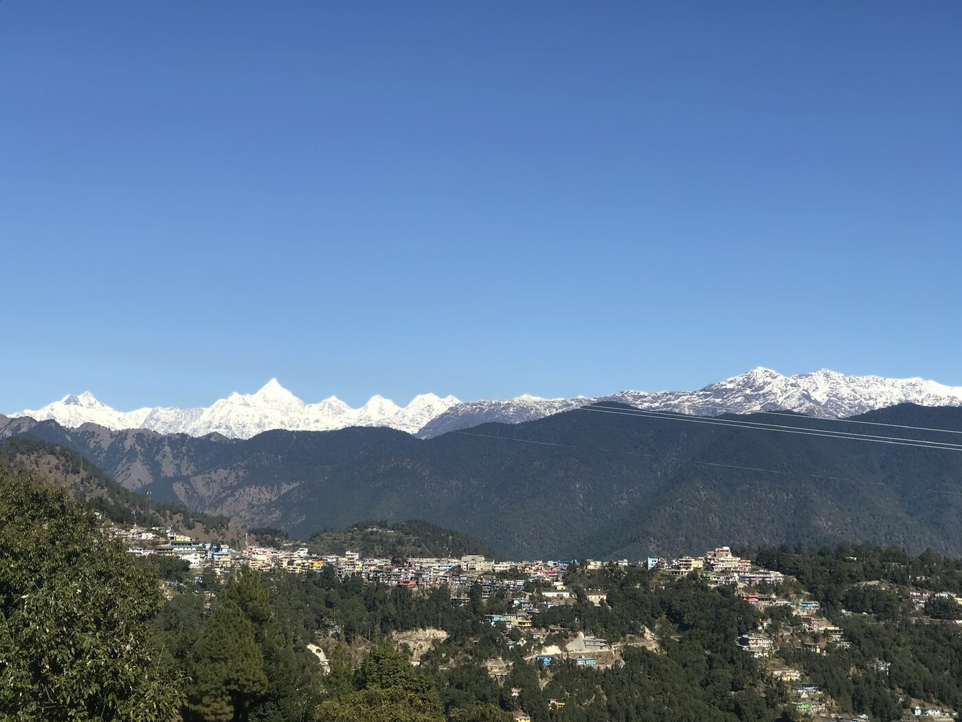
Hat Tharp is not a peripheral agrarian hamlet — it is the geographic, etymological and historical nucleus of the contemporary Didihat municipality. Situated in the Didihat Block and Tehsil of Pithoragarh district, Uttarakhand, the village proper spans 446.77 hectares and sits just 2 km from the statutory town of Didihat, blending remote-Himalayan social structures with peri-urban accessibility.

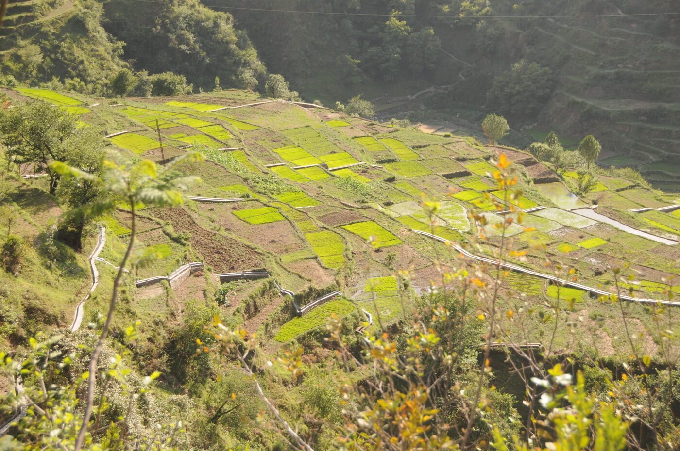
Traditionally the village functioned as the commercial heart of the Haat Valley — a convergence point where merchants from high-altitude regions descended on market days to barter Tibetan wool and rock salt for the grains grown in the valley's fertile depressions.

Most tellingly, the modern town of Didihat derives its very name from Hat Tharp. In the words of public record, this village “is the heart of this town” — a distinction few settlements in Uttarakhand can claim.

Etymology — From 'Dand-Hat' to Didihat

The name Didihat is an amalgamation of the Kumaoni word 'Dand' (a small hillock) and 'Hat' (a localized market or commercial gathering). Historically the plateau was known by the ancient identifier Digtad.

Didihat town organically expanded outward from the original settlement of Hat Tharp, which served as the market and cultural core of the valley and a node bridging trans-Himalayan trade routes with localized agrarian production.

Dynastic Transitions

  • Katyuri Dynasty (c. 7th–11th c. CE): the earliest administrative consolidation, distinguished by prolific temple architecture and patronage of the arts.
  • Doti / Raika Mallas of Sirakot: after the Katyuri decline, control passed to the Doti principality and its Malla feudatories; the landscape was heavily militarised with hilltop forts.
  • Chand Dynasty (1581 AD): King Rudra Chand decisively defeated the Raikas of Doti, absorbing the Haat Valley into the Chand empire and promoting orthodox Hindu culture and temple architecture.

Oral histories hold that Hat Tharp's demographic core was formed during these feudal eras by the Shahji and Bhandari lineages, who settled to serve the religious and administrative needs of the ruling elites.

Forts & Archaeological Remnants

  • Sirakot Fortress (~1,800 m): intertwined with the famous Malaynath Temple; five distinct ramparts, natural defences on three sides, a leveled area ~25 m above the main structure, and the historic water source Chhanpata Nauli.
  • Udaipur Kot: on a camel-back ridge near Bunga village — foundations of multi-storey structures and an underground tunnel system connecting the fort to its water source.
  • Ucha Kot: east of Paudgaon — rectangular rock-cut foundations, a centrally excavated reservoir (8×5×4 ft) and adjacent rock-cut sculptures.

Together these Kots confirm that Hat Tharp sat within a highly contested, militarised frontier zone.

Forts & Archaeological Remnants

The Haat Valley

Hat Tharp rests within a localized geographic depression — the Haat Valley — celebrated for exceptional soil fertility, making it a critical agricultural breadbasket in a terrain otherwise dominated by steep, uncultivable slopes.

The Didihat region averages ~1,725 m (with ridges to ~1,850 m), while the village settlement itself sits lower in the valley at roughly 1,100–1,200 m. From the surrounding heights, the landscape opens onto unobstructed panoramas of the Panchachuli peaks, the Nanda Devi sanctuary, Nanda Kot and the Trishul massif.

The Haat Valley

The Charma River (Netra Dhara)

The ecological and agrarian lifeblood of Hat Tharp is the Charma River, known in the vernacular as Netra Dhara. Flowing roughly 500 m below the village, it is a vital tributary within the expansive Kali River network that defines the international border with Nepal.

The Charma feeds the network of irrigation canals that sustain Hat Tharp's terraces and holds deep spiritual significance — its banks are dotted with shrines and serve as the traditional cremation site. It also faces severe pressure: roughly 50% of Didihat town's solid waste and untreated sewage is discharged into its flow — a central problem the village's carbon-smart vision seeks to reverse.

The Charma River (Netra Dhara)

Climate & Seismic Vulnerability

Hat Tharp's climate is temperate mountainous — mild summers (12–25 °C, occasional peaks near 36 °C) and rigorous winters that fall to −2 °C with regular snowfall.

The region lies squarely within Seismic Zone V, the highest level of earthquake vulnerability on the Indian scale, and is exposed to flash floods and landslides — as seen in the catastrophic events of 20 July 2003 and 13 August 2007. Resilient, low-carbon infrastructure is therefore not a luxury but a necessity.

Geography at a Glance

Spatial & physical profile

0.00

Total Area

hectares

0.00

Irrigated Area

hectares

0

Distance to Didihat

km

0

PIN Code

V

Seismic Zone

(highest risk)

The Panorama

Where the Himalaya meets the valley

View of the Panchachuli, Nanda Devi, Nanda Kot and Trishul peaks from the heights above Hat Tharp

From the heights above Hat Tharp: panoramas of the Panchachuli peaks, the Nanda Devi sanctuary, Nanda Kot and the Trishul massif.